
South AshdownSun 18 Jan
Credit: David Dawson
National and South East League
National level event
What does this mean?
Local events are usually low key and in the 'localised' area, ideal for newcomers to try the sport and Training events are non competitive and used for training and coaching, aimed at members of the club, but they can attract people from neighbouring clubs, and are often ideal for newcomers to try the sport. Regional events attract participants from around the local Region, National events are high quality competitions that will attract people from far away, Major events are Major Events such as a British Championships. Virtual events are where there are no physical controls being used. Your presence at a control is registered using an App on your mobile phone, normally the free MapRun6 App.
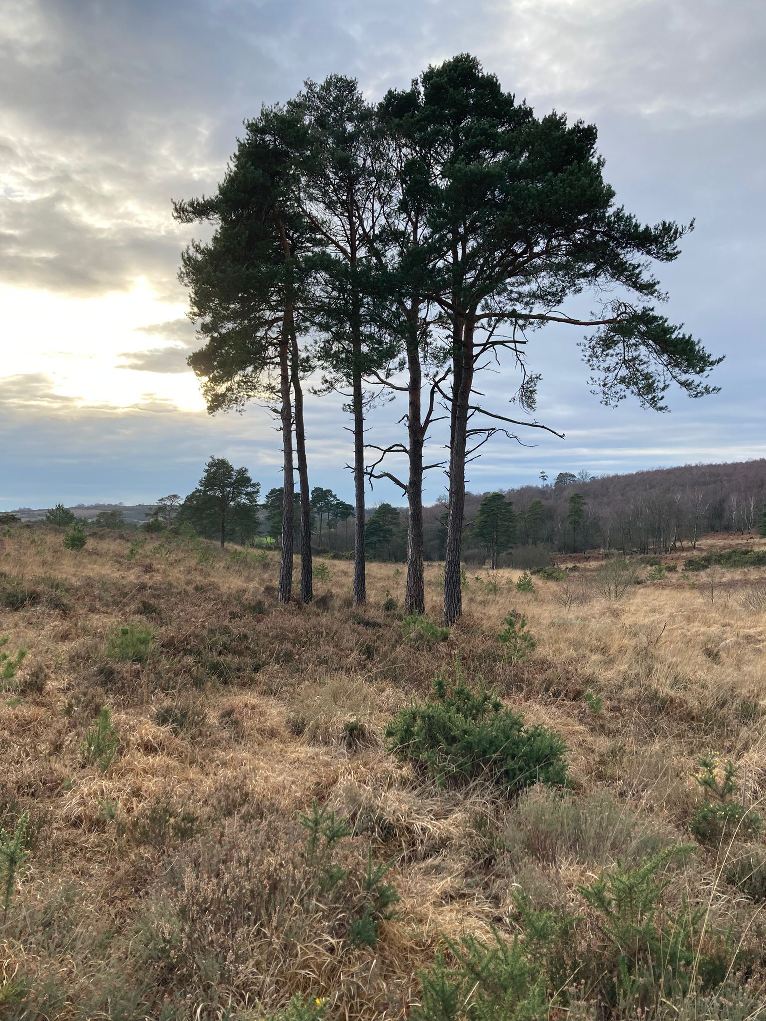
Terrain type: Forest
Results
Overview
We have decided to keep entries open as we have maps available on most courses. Online entries only. Enter here
Pippingford Park will be our Event Centre
Location Info
/0.0492,51.0537,12/500x400?access_token=pk.eyJ1IjoicGF1bGZyb3N0IiwiYSI6ImNsMjNwZWluYTA0NWkza3BzNTdoZ3h3czQifQ.aet4LwY5BeDbHEA9VqLf6A)
Near: Forest Row Lat,Lng: 51.0537,0.0492 Postcode: TN22 3HW What3Words: ///spending.fuel.riverbed
Open an interactive map in: GoogleMap - OpenStreetMap - AppleMaps - BingMap
Directions / Parking
Pippingford Park is accessed from the A22 as a left turn about 2km south of Wych Cross. Look for the red and white orienteering signs in each direction before the entrance and the orienteering kite at the entrance.
Pre-event Details
Map / Terrain
This event will use the northern part of the area primarily, the area north of the road between Nutley and Crowborough. The map was prepared by Mike Elliott (MV) in 2022 and will be at 1:10,000 printed on waterproof paper for the longer courses with a 1:7,500 scale map for competitors on the shorter courses. Some updates will be made for this event.
The terrain is a mixture of areas of runnable woodland often with intricate contour detail and open areas in various stages of regeneration which have variable runnability.
Certificates for the South East Individual League will be available at the event either for collection from the Event Centre before 12:30 with the remaining ones passed to a member of each club for distribution. Without a room to protect from the cold and any rain, a presentation does not seem to be an attractive proposition. A list of the certificate winners is here.
Course Information
Courses on offer are White, Yellow, Orange, Light Green, Very Short Green, Short Green, Green, Short Blue, Blue, Short Brown, Brown and Black with lengths varying between 1.5k and over 10k
The age mappings are those suggested by the South East Orienteering Association for the individual and club competitions run by SEOA but anyone can enter any course. Newcomers and those with less experience are recommended to enter a shorter course than as indicated below
Course lengths and details are as follows:
| Course | Men | Women | Indicative Length (km) | Climb (m) |
|---|---|---|---|---|
| Black | M21 | 10.7 | 260 | |
| Brown | M20 M35 M40 | W21 | 8.7 | 255 |
| Short Brown | M18 M45 M50 | W20 W35 | 7.4 | 180 |
| Blue | M16 M55 M60 | W18 W40 W45 | 6.0 | 165 |
| Short Blue | M65 M70 | W16 W50 W55 | 5.0 | 100 |
| Green | M75 | W60 W65 | 4.1 | 85 |
| Short Green | M80 | W70 | 3.5 | 85 |
| Very Short Green | M85 M90+ | W75 W80 W85 W90+ | 3.0 | 60 |
| Light Green | M14 | W14 | 3.4 | 95 |
| Orange | M12 | W12 | 2.6 | 80 |
| Yellow | M10 | W10 | 2.3 | 75 |
| White | 1.8 | 40 |
Entry Details
Entry closing dates: Standard rate entry until midnight on 11 January 2026; Late entry from 12 January 2026 subject to map availability
All entries are via racesignup.co.uk
See racesignup for entry fees at each entry date
There is a £3 parking charge towards our cost for the use of Pippingford Park, payable when you enter the event via racesignup
Changes to entry information can be made until 9:30am on 17 January. The start list will be published at 10am, possibly with minor adjustments to your selected start time. Your start time will be included in an email you will receive late afternoon on Saturday 17 January. Start times will be changed to Open for anyone on White, Yellow, Orange and Light Green courses so come along whenever you are ready to start and we will start you promptly.
Registration and Start times
Enquiries with SI hire card collection and a key drop will open at 9:30. Hired SI cards can be collected, keys left and enquiries made.
Start times are from 10:30 to 12:30. Distance to the start 600m.
Courses close at 14:00 to allow us to collect the controls before darkness. Please select a start time that will mean you will have finished by then.
Facilities
Toilets. Portable toilets will be available at the Event Centre.
Tom's catering will be attending serving food and drinks. Please use their facility.
Professional first aid cover
Dog restrictions
Dogs are allowed on a short lead and under control at all times in both the car park and on the courses.
Contacts / Officials
Organisers: Sarah Findlay and Antoine Pesenti
Planner: David Dawson
Controller: Susan Crickmore (SO)
Nearest A&E Hospital
Safety Notes
Take care crossing the roads
Miscellaneous
Acknowledgements
We are grateful to the Conservators of Ashdown Forest and management at Pippingford Park for permission to use their land and to Mole Valley for allowing us to use their map.
Ashdown Forest, as many of you will know, is a very special place. It is managed by the Board of Conservators of Ashdown Forest, an independent body. In recognition of the ecological importance of Ashdown Forest and to ensure its protection, it is designated as a European Natura 2000 site and as a Site of Special Scientific Interest under UK legislation. Ashdown Forest is also within the High Weald Area of Outstanding Natural Beauty.
The Conservators have duties laid down by statute which include the following:
- To regulate and manage the forest as an amenity and place of resort
- To conserve it as a quiet and natural area of outstanding beauty
The Conservators are keen to raise the public’s (and hence our) awareness of their legal duty and, within this, their aim of balancing the interests of all users of the forest.