
KOL8 Shorne Woods CPSat 21 Mar
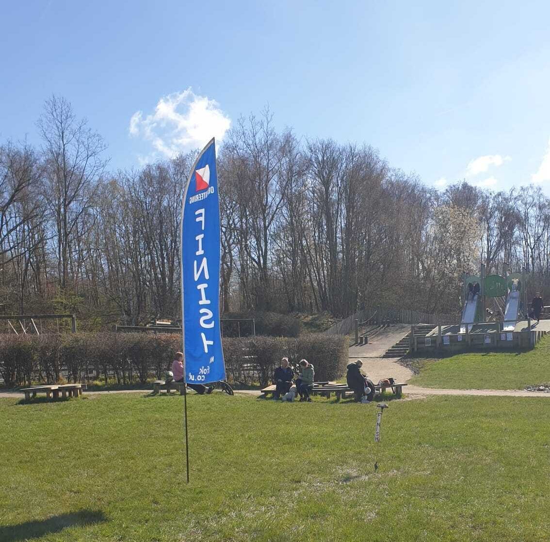
Credit: Geoff Goodwin
Kent Orienteering League
Local level event
What does this mean?
Local events are usually low key and in the 'localised' area, ideal for newcomers to try the sport and Training events are non competitive and used for training and coaching, aimed at members of the club, but they can attract people from neighbouring clubs, and are often ideal for newcomers to try the sport. Regional events attract participants from around the local Region, National events are high quality competitions that will attract people from far away, Major events are Major Events such as a British Championships. Virtual events are where there are no physical controls being used. Your presence at a control is registered using an App on your mobile phone, normally the free MapRun6 App.
Terrain type: Forest
Results
Overview
Event 8 of the 2025/26 KOL series.
We have very few maps still available. Enter via racesignup.co.uk if you would like one of these. We do not take entries at the event.
Location Info
/0.4203,51.4042,12/500x400?access_token=pk.eyJ1IjoicGF1bGZyb3N0IiwiYSI6ImNsMjNwZWluYTA0NWkza3BzNTdoZ3h3czQifQ.aet4LwY5BeDbHEA9VqLf6A)
Near: Gravesend Lat,Lng: 51.4042,0.4203 Postcode: DA12 3HD
Open an interactive map in: GoogleMap - OpenStreetMap - AppleMaps - BingMap
Directions / Parking
We are using the main car park for the Country Park, Brewers Road, Shorne. There is easy access from the A2 with brown signs for Shorne Woods Country Park.
You will need to buy a parking ticket; automatic number plate recognition is in use. The cost is £4.30 and the ticket is valid all day.
Weather permitting, download and enquiries will be located on the grassy area to the South of the cafe building.
Pre-event Details
Map / Terrain
Extensive woodland with a lot of variety. Some magnificent trees, open areas, several lakes and other water features and lots of pits and depressions.
Map is 1:7500
Course Information
Yellow 1.9km
Controls (checkpoints) are very easy to find, mostly on paths, ideal for younger children and complete beginners.
Orange 2.9km
Controls are on or near paths with some route choice. Good for progressing juniors and adults who are reasonably confident reading a map.
Green 3.9km
Controls are away from paths giving more navigational challenge. Suitable for those with some experience.
Blue 6.0km
As technically as hard as we can make it; for experienced orienteers.
Score
21 controls. Visit as many controls as you can in an hour in any order. 7 easy controls numbered in the 50's, 7 moderate difficulty numbered in the 60's and 7 more difficult numbered in the 70's
All course lengths are approximate currently and will be as measured in straight lines. Actual distance travelled will be greater.
Entry Details
Entries: Entries via www.racesignup.co.uk. Entries in advance only. Entries by Sunday 15 March are preferred as this is when we will determine how many maps to print so you will be guaranteed an entry for the course of your choice. Entries will be available after this date until all maps on a course have been taken, possibly including entry on the day, also via racesignup, if maps are still available. No entry at the event on the day.
Entry Fees: Seniors £7, Juniors £3 (DFOK Juniors FREE). Add £2 for Seniors and £1 for Juniors who are not members of British Orienteering.
Families participating as a group £10 (one map and one SI dibber is included).
Registration and Start times
Registration opens at 10:30
Start times from 11:00 to 12:30
Courses close at 14:00
Electronic Punching: Sportident electronic punching will be used for all courses. Contactless punching (SIAC) will be enabled. SI and SIAC dibbers will be available for hire at £1 and SIACs at £2.
Facilities
There are toilets and refreshments at the Visitor Centre adjacent to the car park.
Dog restrictions
Dogs on a short lead and under close control at all times are welcomed
Contacts / Officials
Organiser: David Lobley
Planner: David Lobley
Controller (risk assessment only): David Dawson