
KOL5 + Regional Shooters HillSat 15 Feb
Kent Orienteering League
Regional level event
What does this mean?
Local events are usually low key and in the 'localised' area, ideal for newcomers to try the sport and Training events are non competitive and used for training and coaching, aimed at members of the club, but they can attract people from neighbouring clubs, and are often ideal for newcomers to try the sport. Regional events attract participants from around the local Region, National events are high quality competitions that will attract people from far away, Major events are Major Events such as a British Championships. Virtual events are where there are no physical controls being used. Your presence at a control is registered using an App on your mobile phone, normally the free MapRun6 App.
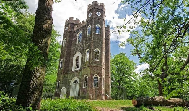
Terrain type: Forest
Results
Overview
A Regional Event with ranking points and a range of courses also incorporating Event 5 of the 2024/25 Kent Orienteering League series. Do come along for a very different Shooters Hill experience using Don McKerrow's new uncluttered map from which many incomprehensible ditches have miraculously disappeared!
Location Info
/0.0755,51.4622,12/500x400?access_token=pk.eyJ1IjoicGF1bGZyb3N0IiwiYSI6ImNsMjNwZWluYTA0NWkza3BzNTdoZ3h3czQifQ.aet4LwY5BeDbHEA9VqLf6A)
Near: Welling Lat,Lng: 51.4622,0.0755 Postcode: SE9 2RE
Open an interactive map in: GoogleMap - OpenStreetMap - AppleMaps - BingMap
Directions / Parking
Park along Welling Way, on either side of the road, near to its junction with Rochester Way. This is about 500m west of postcode DA16 2RS. Parking charge 50p per hour or £2 per day.
Look for the orienteering kite on the north side of Welling Way near the junction with Rochester Way to pick up the red and white tapes from there to lead you to our Event Centre, a dark blue tent with the tall DFOK sail banner nearby (about 200 metres).
Public Transport : Falconwood Rail Station is 300m from the kite on Welling Way for the start of the route to the Event Centre. There is a good service from Cannon Street, Victoria, Charing Cross, Waterloo and London Bridge and Dartford.
Pre-event Details
Map / Terrain
The terrain generally ranges from Slow Run to Fight with some areas of runnable woodland, some open parkland and some interesting “semi urban” areas of historical interest with quite intricate fencing, terracing and walls.
All courses have been planned to take best advantage of the area to provide challenging (and hopefully enjoyable!) courses with plenty of route choice and some fast running!
The map is newly prepared by Don McKerrow, greatly simplified from the previous version and printed on waterproof paper. See photo gallery for a few snippets of the new map. The Brown course is printed double sided.
Maps will be at 1:5,000 for Yellow, Orange and Short Green. The map scale will be 1:7,500 for all other courses.
Course Information
To encourage a good attendance for the first use of a brand new map, the event has been given Level C - “Regional” status meaning that British Orienteering Ranking (BOR) points will be awarded.
Competitors on the Yellow, Orange, Green, Blue and Score courses will score KOL points in the normal way. The Brown course will have a spectator control near the Event Centre and adjacent to the finish for the other courses. The first part of the Brown course is the same as the Blue course. Competitors on Brown will score KOL points based upon their time to complete the Blue section of the course. Competitors on the Red and Short Green course will not be eligible for KOL points.
All courses colour coded below are line courses where you do the controls in a set order and will be eligible for BOR points, with those for the Brown course being based on the time for completing the whole course.
Yellow 2.0km
Controls (checkpoints) are easy to find, mostly on paths, ideal for younger children and complete beginners.
Orange 3.0km
Controls are on or near paths with some route choice. Good for progressing juniors and adult newcomers who are reasonably confident reading a map.
Red 4.0km (not eligible for KOL points)
Like the Orange course, this course has all the controls on or near to paths and is for those who are seeking a longer run with a low navigational challenge.
Score - 21 controls. Visit as many controls as you can in an hour in any order. 7 easy controls numbered in the 60's, 7 moderate difficulty numbered in the 70's and 7 more difficult numbered in the 80's
On the following courses, the controls are away from paths giving more navigational challenge. Suitable for those with some experience.
Short Green 2.5km (not eligible for KOL points)
Green 4.5km
Blue 6km
Brown 9km (37 controls)
All course lengths are approximate currently and will be as measured in straight lines. Actual distance travelled will be greater.
Entry Details
Entries: Entries via www.racesignup.co.uk. Entries in advance only. Enter by midnight on Sunday, 9th February to be sure of a map for the
course of your choice.
Fees: Seniors £7, Juniors £3 (DFOK Juniors FREE). Add £2 for Seniors and £1 for Juniors who are not members of British Orienteering. Families participating as a group £10. These entry fees are unchanged from those used for other DFOK KOL events. There are reduced rates for any Senior entering the Yellow,. Orange and Red courses (see Racesignup for details).
If you are doing the Brown course and have your own SI card numbered within either 1-499,999 or 2000001-2,999,999, or need to hire a SI card, please select the option to hire a SIAC on entry as these dibbers, including our standard ones for hire, cannot record 37 control visits.
Entries after 9th February will be subject to map availability and a £2 surcharge for Seniors.
NEWCOMERS - if you are a newcomer to orienteering and have not participated in one of our events before, just click here for quick and easy sign-up and pay just £2 (cash or card accepted) on the morning of the event. We will be in touch in the week before to tell you all you need to know.
Registration and Start times
Registration opens at 10:30
Start times from 11:00 to 12:30
The Start and Finish are within 100m of the Event Centre
Courses close at 14:00
Electronic Punching: Sportident electronic punching will be used for all courses. Contactless punching (SIAC) will be enabled. SI and SIAC dibbers will be available for hire at £1 and SIACs at £2.50.
Facilities
Cafe and toilets 100m from the Event Centre.
Dog restrictions
Well behaved dogs on a lead near the Event Centre but sorry, no dogs allowed on the courses
Contacts / Officials
Organiser: David Lobley
Planner: David Lobley
Controller: David Dawson (DFOK)
Nearest A&E Hospital
Queen Elizabeth Hospital, Stadium Road, London SE18 4QH
NHS Urgent care search
Miscellaneous
Acknowledgements:
LB Greenwich for permission to use the area