
KOL2 Shoreham WoodsSat 15 Nov
Credit: Antoine Pesenti
Kent Orienteering League
Local level event
What does this mean?
Local events are usually low key and in the 'localised' area, ideal for newcomers to try the sport and Training events are non competitive and used for training and coaching, aimed at members of the club, but they can attract people from neighbouring clubs, and are often ideal for newcomers to try the sport. Regional events attract participants from around the local Region, National events are high quality competitions that will attract people from far away, Major events are Major Events such as a British Championships. Virtual events are where there are no physical controls being used. Your presence at a control is registered using an App on your mobile phone, normally the free MapRun6 App.
Terrain type: Forest
Results
Report
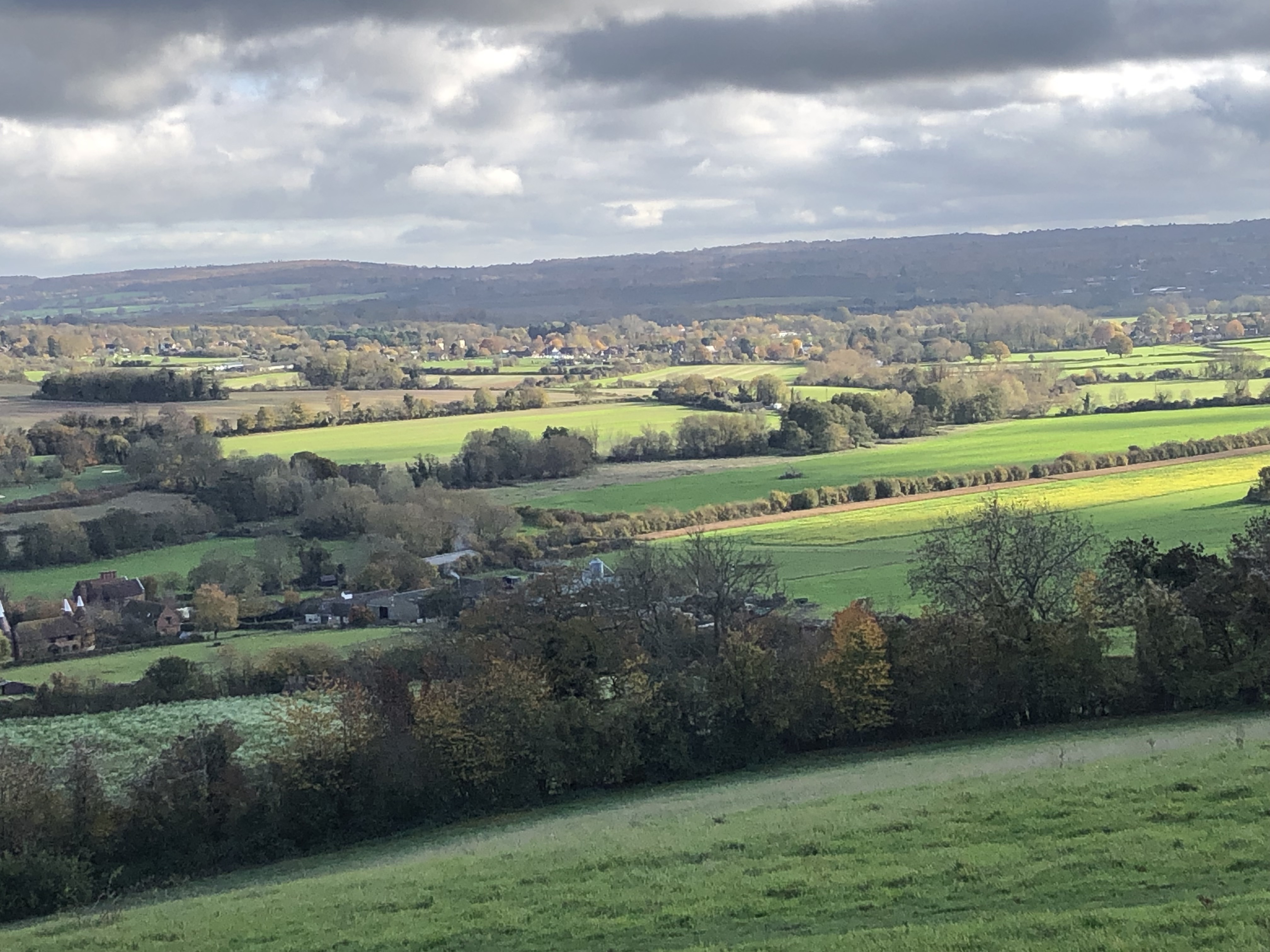
Thank you for attending today's event at Shoreham Woods. We hope you enjoyed it. I know that there was a lot of climbing, but there was a purpose: to go twice to the East open land and have this scenic view. But yes today you only saw the fog above the nice plain... Sorry, you need to come back.
It was good to receive the positive feedback from the courses as it makes the effort worthwhile.
We were very pleased that the event was well attended. It was great to put faces to names and to meet a number of first timers too.
Overview
Event 2 of the 2025/26 KOL series.
We have maps available for each course so we are keeping entries open, including on the morning of the event if maps continue to be available, but if you want to enter, please do so via racesignup before you leave for the event as we do not take cash entries.
Location Info
/0.1551,51.3339,12/500x400?access_token=pk.eyJ1IjoicGF1bGZyb3N0IiwiYSI6ImNsMjNwZWluYTA0NWkza3BzNTdoZ3h3czQifQ.aet4LwY5BeDbHEA9VqLf6A)
Near: Shoreham Lat,Lng: 51.3339,0.1551 Postcode: TN14 7BW What3Words: ///grab.frosted.tips
Open an interactive map in: GoogleMap - OpenStreetMap - AppleMaps - BingMap
Directions / Parking
The parking and event centre including download is in the Car Park at Shacklands Road car park nearest postcode TN14 7BD (w3w grab.frosted.tips)
From All Directions: From Junction 4 of the M25 take the feeder road to the Hewitts Roundabout then take the 1st exit along A224 for 1.1 mile to a second roundabout. Take the 1st exit and the car park is on the right where the road bends after approximately 300m. Please park considerately so that we can maximise the number of cars to be accommodated.
Train: Nearest Railway Station is KNOCKHOLT which is 1.3 miles (total) walk south along Old London road to the second roundabout mentioned above.
Pre-event Details
Course Information
Yellow 2.1km
Controls (checkpoints) are very easy to find, mostly on paths, ideal for younger children and complete beginners.
Orange 3.0km
Controls are on or near paths with some route choice. Good for progressing juniors and adults who are reasonably confident reading a map.
Green 4.6km
Controls are away from paths giving more navigational challenge. Suitable for those with some experience.
Blue 6.2km
As technically as hard as we can make it; for experienced orienteers.
Score
24 controls. Visit as many controls as you can in an hour in any order. 8 easy controls numbered in the 50's, 8 moderate difficulty numbered in the 60's and 8 more difficult numbered in the 70's
All course lengths are measured in straight lines. Actual distance travelled will be greater.
Entry Details
Entries: Entries via www.racesignup.co.uk. Entries in advance only. Enter by midnight on Sunday, 9 November to be sure of a map for the course of your choice as we order the maps the following day. Entries will be available after this date until all maps on a course have been taken including, possibly, entry on the day, also via racesignup, if maps are still available..
Entry Fees: Seniors £7, Juniors £3 (DFOK Juniors FREE). Add £2 for Seniors and £1 for Juniors who are not members of British Orienteering. Families participating as a group £10.
Registration and Start times
Registration opens at 10:30
Start times from 11:00 to 12:30
Courses close at 14:00
Electronic Punching: Sportident electronic punching will be used for all courses. Contactless punching (SIAC) will be enabled. SI and SIAC dibbers will be available for hire at £1 and SIACs at £2.50.
Dog restrictions
Dogs on a short lead and under close control at all times are welcomed
Contacts / Officials
Organiser: Antoine Pesenti
Planner: Antoine Pesenti
Controller (risk assessment only): David Dawson