
KOL 3 Shoreham WoodsSat 3 Dec
Credit: Philip Craven
Kent Orienteering League
Local level event
What does this mean?
Local events are usually low key and in the 'localised' area, ideal for newcomers to try the sport and Training events are non competitive and used for training and coaching, aimed at members of the club, but they can attract people from neighbouring clubs, and are often ideal for newcomers to try the sport. Regional events attract participants from around the local Region, National events are high quality competitions that will attract people from far away, Major events are Major Events such as a British Championships. Virtual events are where there are no physical controls being used. Your presence at a control is registered using an App on your mobile phone, normally the free MapRun6 App.
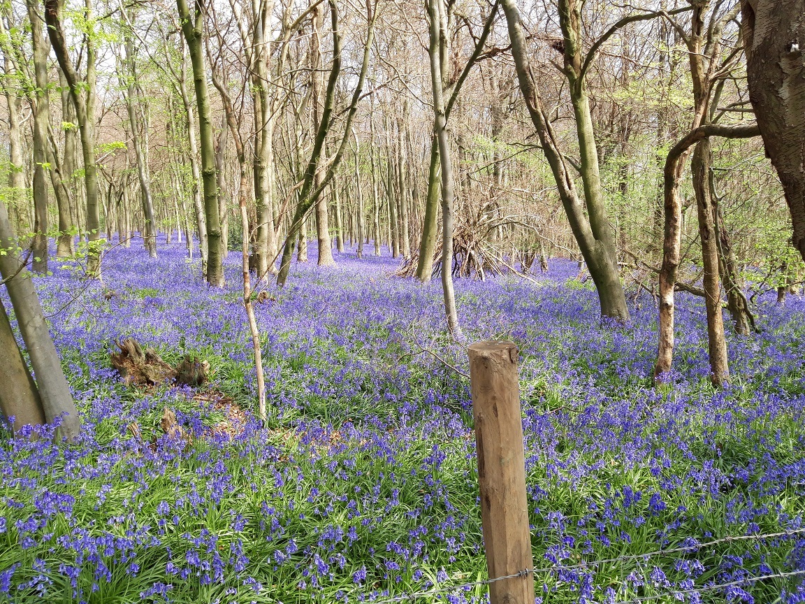
Terrain type: Forest
Results
Overview
All maps have now been taken and the event is now full. There will be no Entry on the Day. There will be no loose control descriptions at the event but they may be downloaded and printed in advance from here - Control descriptions
Location Info
/0.1552,51.3339,12/500x400?access_token=pk.eyJ1IjoicGF1bGZyb3N0IiwiYSI6ImNsMjNwZWluYTA0NWkza3BzNTdoZ3h3czQifQ.aet4LwY5BeDbHEA9VqLf6A)
Near: Halstead Lat,Lng: 51.3339,0.1552 Postcode: TN14 7TY What3Words: ///grab.frosted.tips
Open an interactive map in: GoogleMap - OpenStreetMap - AppleMaps - BingMap
Directions / Parking
The parking and event centre including download is in the Car Park at Shacklands Road car park nearest postcode TN14 7BD (w3w grab.frosted.tips)
From All Directions: From Junction 4 of the M25 take the feeder road to the Hewitts Roundabout then take the 1st exit along A224 for 1.1 mile to a second roundabout. Take the 1st exit and the car park is on the right where the road bends after approximately 300m. Please park considerately so that we can maximise the number of cars to be accommodated.
Train: Nearest Railway Station is KNOCKHOLT which is 1.3 miles (total) walk south along Old London road to the second roundabout mentioned above.
Pre-event Details
Map / Terrain
MAP: Scale 1:10,000 with 5m contours surveyed in April 2020 by Andrew Pitcher with minor updates in Autumn 2022.
TERRAIN: Mainly mixed runnable woodland set around a valley on the edge of the North Downs. Potentially physically demanding with some challenging earth features.
Course Information
COURSES: (subject to final approval)
Yellow 2.0km Controls are easy to find located mostly on paths
Orange 3.0km Controls are on or near paths and/or linear features with some route choice. Good for progressing juniors and adults who are reasonably confident reading a map.
Green 4.4km Controls are away from paths giving more navigational challenge. Suitable for experienced orienteers
Blue 5.5km As technically hard as we can make it. For experienced orienteers.
Score 21 controls Time Limit 60 minutes. Visit as many controls as you can in an hour. 10 points for each control collected. Time penalty: -10 points per minute or part minute late. Controls numbered in the 60's are easy, those numbered in the 70's are more difficult and those numbered in the 80's are hard.
Entry Details
ENTRIES: Entries via www.racesignup.co.uk. Entries in advance only. Enter by midnight on Sunday 27th November to be sure of a map for the course of your choice. Entries will be available after this date until all maps on a course have been taken including entry on the day, also via racesignup, if maps are still available..
No entry on the day.
ENTRY FEES: Seniors £5, Juniors £2 (DFOK Juniors FREE). Add £2 for Seniors and £1 for Juniors who are not members of British Orienteering. Families participating as a group £10.
Registration and Start times
ENQUIRIES: Open from 10.30
START and FINISH: Near the car park at Shacklands road. Start times are 11.00 to 12.30. Courses close 14.00. The controls will be SIAC enabled, but it is a punching start and punching finish. After finishing, please proceed directly to download in the event centre car park. Hired SI and SIAC dibbers should then be deposited in the pink container after downloading.
ELECTRONIC PUNCHING: Sportident electronic punching will be used for all courses. Contactless punching (SIAC) will be enabled. SI and SIAC dibbers will be available for hire at £1 and SIACs at £2.
Facilities
FACILITIES: There are toilets at the car park
Contacts / Officials
Organiser/Planner: Colin and Rosie Merry
Controller (risk assessment only): David Dawson
Nearest A&E Hospital
Safety Notes
SAFETY: Maps are overprinted with the Organiser's telephone number.
Ash Dieback is a concern here so please ensure your kit, particularly your shoes are clean and free from mud. Recent felling has been taking place, and is marked on the map.
At the time of writing cattle and horses are present in the open areas that are crossed by a public footpath. They appear docile, but care should be taken around them particularly when walking around the back of them.
There is an old quarry on the map. This feature has steep sides and no protective fence around the top. Courses have been designed to avoid it, but if you are lost in this area please be aware that you might stumble across it.
As always, Orienteering is an adventure sport and you take part at your own risk and are responsible for your own safety during this event.
RESTRICTIONS: You must not attend if you or a member of your household has COVID-19 symptoms.
You must adhere to the British Orienteering Participant Code of Conduct.
Miscellaneous
ACKNOWLEDGEMENTS: We are grateful to Sevenoaks District Council and the Kent Wildlife Trust for permission to use the area, and Sevenoaks District Council for permission to use the car park.
Thanks to Andrew Pitcher for mapping and assistance, and to all our helpers on the day