
Shooters HillAnytime Orienteering
Location Info
/0.0697,51.4666,12/500x400?access_token=pk.eyJ1IjoicGF1bGZyb3N0IiwiYSI6ImNsMjNwZWluYTA0NWkza3BzNTdoZ3h3czQifQ.aet4LwY5BeDbHEA9VqLf6A)
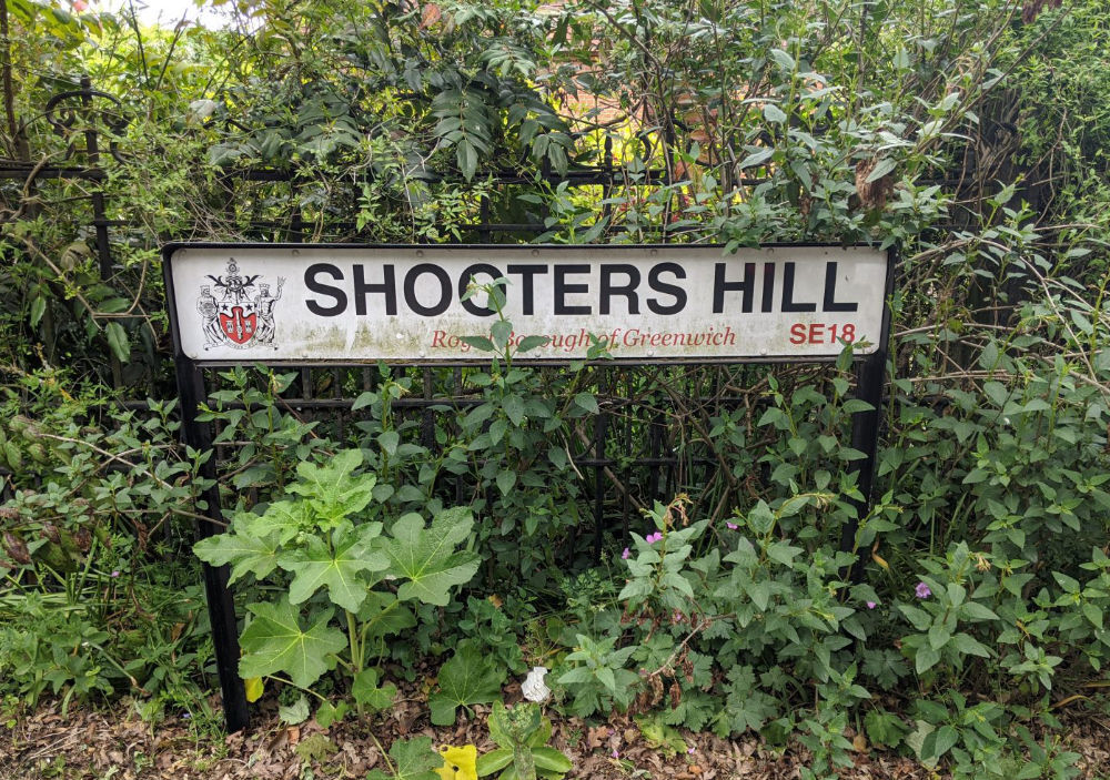
Near: Greenwich Lat,Lng: 51.4666,0.0697 OS Grid Ref: TQ438762 Postcode: SE18 3JA What3Words: ///hill.swan.piper
Open an interactive map in: GoogleMap - OpenStreetMap - AppleMaps - BingMap
Directions / Parking
Adjacent to Cafe off Shooters Hill Rd (A207) GR: TQ 438763
Also at Severndroog Castle which also has a cafe. SE18 3RT
Overview
Include Oxleas Wood, Jack Wood and Castle Wood, as well as Sheperdleas Wood and Eltham Common. There are areas of ancient woodland at least 8000 years old and coppicing was practised from medieval times until the 1920s.
There are 22 control sites and suggestions for 2 different courses, 2.5km and 4km long.
The map is 1:10,000, full colour, 5m contours
Maps
Download PDF of all course maps and instructions
Safety Notes
Please TAKE CARE, particularly after wet weather when the ground may be slippery, and leave no litter.
Nearest A&E Hospital
Queen Mary's Hospital, Frognal Avenue, Sidcup, DA14 6LT
NHS Urgent care search
Facilities
Cafe and toilets.