
Westerham ChartSun 14 Jan
Credit: David Lobley
National and South East League
National level event
What does this mean?
Local events are usually low key and in the 'localised' area, ideal for newcomers to try the sport and Training events are non competitive and used for training and coaching, aimed at members of the club, but they can attract people from neighbouring clubs, and are often ideal for newcomers to try the sport. Regional events attract participants from around the local Region, National events are high quality competitions that will attract people from far away, Major events are Major Events such as a British Championships. Virtual events are where there are no physical controls being used. Your presence at a control is registered using an App on your mobile phone, normally the free MapRun6 App.
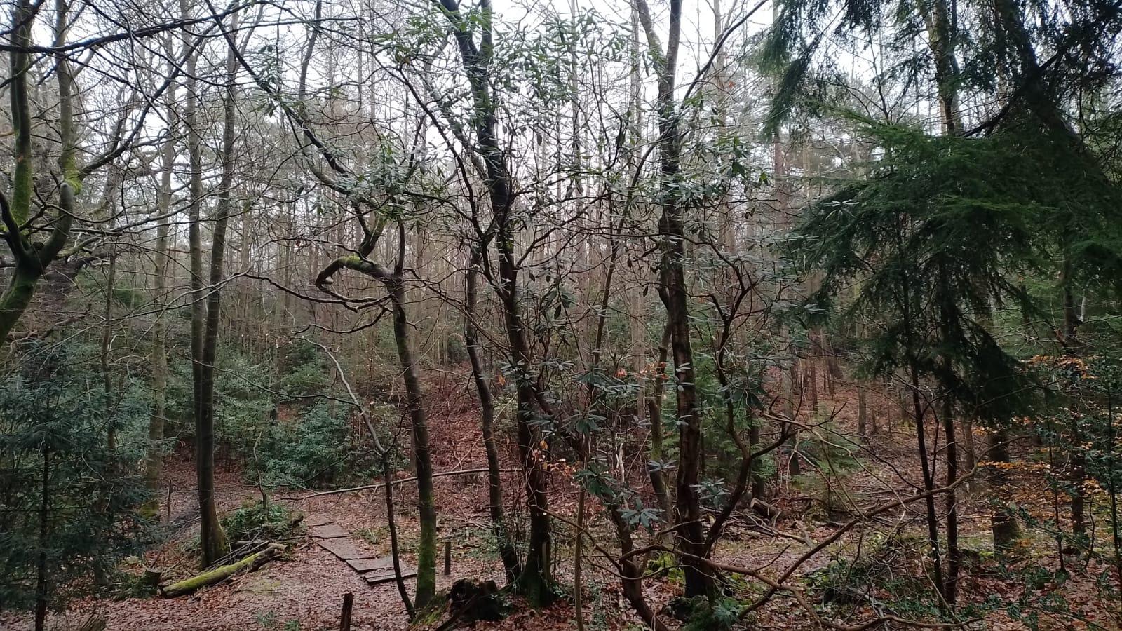
Terrain type: Forest
Results
Report
Planner's Report
Firstly, my apologies for the delay in getting my thoughts down on paper! It took me a while to recover but I hope you haven’t forgotten the event and that these thoughts are still relevant!
Huge thanks go to Alison Howe for controlling the event – she was the perfect Controller – keeping me in line with BOF requirements (who knew a white course leg couldn’t be longer than 200m?!), providing constructive feedback and advice whilst leaving me to go my own way with the planning (for better or worse!)
Thanks also to Andrew Evans for his overseeing Controller input and help (especially with waking up and collecting controls), and thanks to the huge army of DFOK helpers without whom the event could not have happened.
And so to the courses. I certainly hope you enjoyed running at Westerham, and from the comments I heard most of you certainly did. It’s not an easy area to plan on because of the tough vegetation and road crossings, but I tried to provided challenging courses with plenty of route choice and relatively straightforward controls to avoid you having to thrash about in the brambles looking for a pit in the middle of nowhere!
The junior course competitors remained within the Hosey Common area of the map. I hope you enjoyed seeing one of the Hosey caves and the challenge of making your way through the complex and indistinct path network of the area!
Longer course competitors got to see more of the area – with a long route choice leg crossing over the Squerryes estate and parkland, and for Short Brown and upwards continuing into Limpsfield Chart. The fences here caused a bit of a problem – I didn’t want to use compulsory crossing points as that would have eliminated route choice so hopefully you agreed the solution of stating “fences can be crossed anywhere but less agile (or “the old and bold” as Alison described them) may want to use crossing points worked well.
Most of the longer courses had a leg crossing through the dark green area on Squerryes which some commented on. I think this was a fair leg as path run options were available, and Routegadget and SI Split times show no unusual distribution of times
I did receive a couple of comments regarding the (fairly straightforward) navigation that was required to the finish suggesting it should have been taped. I did wonder about that, but BOF Course Planning Guidance rule 5.1.2 states only - "It is important to ensure that the finish is easily located. A common last control with taped route to the finish will ensure this". Given that the finish was a major path junction I think the requirement that finish is easily located was complied with and tapes were not necessary.
So that’s a wrap from me for Westerham 2024! Our next event on the area is another National and SEL Event on 19 Jan 2025 where we will be celebrating DFOK’s 50th Anniversary and will (hopefully) have some English Sparkling Wine (far better than the French stuff!) for all at the finish. Antoine Pesenti will be planning and I’m sure he will have lots of new challenges for you so hope to see you there!
David Lobley
Overview
The total of available places has now been reached so, sorry, there will be no further entries for any course either in advance or at the event.
New map prepared by Dave Peel
Certificates from the South East Individual League will be presented at this event at around 13:30. See below for further information.
Final Details (updated 13th January).
Location Info
/0.0823,51.247,12/500x400?access_token=pk.eyJ1IjoicGF1bGZyb3N0IiwiYSI6ImNsMjNwZWluYTA0NWkza3BzNTdoZ3h3czQifQ.aet4LwY5BeDbHEA9VqLf6A)
Near: Westerham Lat,Lng: 51.247,0.0823 OS Grid Ref: TQ455515 Postcode: TN16 1PP What3Words: ///seated.held.lend
Open an interactive map in: GoogleMap - OpenStreetMap - AppleMaps - BingMap
Directions / Parking
Chartwell is very well signposted with Brown tourist signs from all directions. There will be no orienteering signage until you reach the entrance to Chartwell.
Parking will first use the overflow car park at Chartwell and then we will start to fill the lower of the three tiers of parking in the main car park. The upper and middle level tiers of the main car park must not be used by orienteers. Follow the directions of the parking marshals so that we fill the available spaces in a coordinated order.
There is no charge to use the car park for members of the National Trust and £4 for all day parking for non-members. The membership fee changes take place from each 1 February so you may wish to consider joining National Trust before the event and get an immediate benefit at the event.
There are only three parking machines at Chartwell and queues would be inevitable, especially as all NT members also need to use the machine to get a free ticket. We have been asked to collect car parking monies due on behalf of National Trust. As £4 is not an easy amount to collect with coins, we have decided to collect all parking charges due through racesignup at the same time as you enter. If you are a NT member, you will need to enter your NT membership number.
Pre-event Details
Map / Terrain
The map is newly prepared by Dave Peel at 1:10,000 printed on waterproof paper for the longer courses with a 1:7,500 scale map for White, Yellow, Orange and Very Short Green competitors.
The terrain is a mixture of areas of runnable woodland often with intricate contour detail, an open area in the centre and some felled areas in various stages of regeneration which have variable runnability
Course Information
Courses on offer are White, Yellow, Orange, Light Green, Very Short Green, Short Green, Green, Short Blue, Blue, Short Brown, Brown and Black with lengths varying between 2k and over 10k
Final course lengths and details as follows:
| Course | Men | Women | Length (km) | Climb (m) | No. of Controls |
|---|---|---|---|---|---|
| Black | M21 | 10.1 | 325 | 23 | |
| Brown | M35 M40 | 9.2 | 325 | 22 | |
| Short Brown | M18 M20 M45 M50 | W21 | 7.4 | 255 | 19 |
| Blue | M16 M55 M60 | W35 W40 | 6.7 | 245 | 16 |
| Short Blue | M65 | W18 W20 W45 W50 | 5.1 | 195 | 16 |
| Green | M70 | W16 W55 W60 | 4.1 | 150 | 13 |
| Short Green | M75 | W65 | 3.5 | 150 | 10 |
| Very Short Green | M80 M85 M90+ | W70 W75 W80 W85 W90+ | 2.4 | 75 | 10 |
| Light Green | M14 | W14 | 4.0 | 150 | 12 |
| Orange | M12 | W12 | 2.5 | 85 | 11 |
| Yellow | M10 | W10 | 2.0 | 55 | 10 |
| White | 1.7 | 45 | 11 |
Entry Details
Entries are now closed and there will be no entry on the day for any course
See racesignup for entry details and fees
Registration and Start times
Enquiries with SI hire card collection and a key drop will open at 9:30 outside the Visitor Centre building which is on the opposite (lower level) side of the parking area from the cafe. Hired SI cards can be collected, keys left and enquiries made.
Start times are from 10:30 to approximately 12:15. Distance to the start is 500m.
Courses close at 14:00 for us to collect the controls before darkness. Please select a start time that will mean you will have finished by then.
Download will be through an open door at the Visitor Centre
Please respect the use of the Visitor Centre by other users of the site and do not obstruct the entrances
SEIL certificates for 2023 will be presented at this event.
Eligibility for a certificate is having successfully completed 3 events during calendar year 2023 and being in the top 3 of your age class. The list of certificate winners is here.
The full SEIL results for 2023 are here.
Facilities
Toilets. Note that there are plenty of cubicles in the Ladies, plenty of urinals in the Mens but just two cubicles in the Mens. Please give way to let non-orienteers have priority if a queue forms.
Highly regarded cafe serving a range of hot and cold food. We have been asked to use the upstairs "Mulberry" room to eat food and drinks rather than the main downstairs part of the cafe.
Shop selling a wide range of goods
Bookstore run on an honesty box basis. £1 for any paperback and £2 for any hardback.
Professional first aid cover
There is an exhibition called 'Winston’s Spectacular Cakes’ which will begin a year of events at Chartwell focusing on the birthdays of the family to celebrate 150 years since Churchill's birth. It runs for a six week week period starting the day before the event. This is open until the whole site closes at 4pm. Entry to this is with a ticket for the gardens.
Dog restrictions
Dogs are allowed on a short lead in both the car park and on the courses.
Contacts / Officials
Organiser: Antoine Pesenti
Planner: David Lobley
Controllers: Alison Howe (SAX) and Andrew Evans
Nearest A&E Hospital
Princess Royal University H, Farnborough, Orpington BR6 8ND
NHS Urgent care search
Miscellaneous
Acknowledgements
We are grateful for the kind permission of the National Trust (both Chartwell and Limpsfield Chart), Sevenoaks DC, Squerryes Estate and the Titsey Foundation for permission to use their land.