
Shorne Country ParkSun 2 Oct
Level C Regional event
Regional level event
What does this mean?
Local events are usually low key and in the 'localised' area, ideal for newcomers to try the sport and Training events are non competitive and used for training and coaching, aimed at members of the club, but they can attract people from neighbouring clubs, and are often ideal for newcomers to try the sport. Regional events attract participants from around the local Region, National events are high quality competitions that will attract people from far away, Major events are Major Events such as a British Championships. Virtual events are where there are no physical controls being used. Your presence at a control is registered using an App on your mobile phone, normally the free MapRun6 App.
Terrain type: Woodland
Results
Report
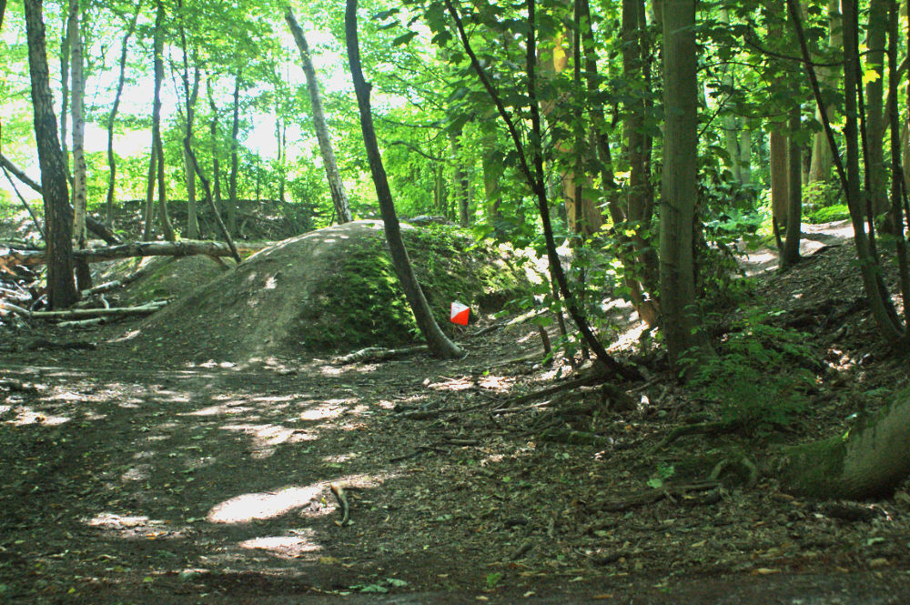
Control 83
Several participants experienced difficulty in locating the rootstock at control 83 so a thorough evaluation of the southern part of that block was carried out after the event. Whilst the main features were reasonably accurately mapped relative to each other, the path to the west of the control has changed and is now not mapped correctly. This would have led to anyone using that attack point going to the north and west of the control circle, into the undergrowth area. The correct positioning of the control was assessed to be some 25m south east of the circle on the map with the undergrowth boundary also moving south. The leg to 83 has been excluded from the results on all courses. There was no evidence from the results that the leg from 83 to the various different next controls had a material impact on the results so the times for those legs have been left unadjusted. We apologise for the frustration that this caused to those of you affected by this.
Andrew Evans (Organiser)
Location Info
/0.4199,51.404,12/500x400?access_token=pk.eyJ1IjoicGF1bGZyb3N0IiwiYSI6ImNsMjNwZWluYTA0NWkza3BzNTdoZ3h3czQifQ.aet4LwY5BeDbHEA9VqLf6A)
Near: Gravesend Lat,Lng: 51.404,0.4199 Postcode: DA12 3HX What3Words: ///pies.modest.kinds
Open an interactive map in: GoogleMap - OpenStreetMap - AppleMaps - BingMap
Pre-event Details
Map / Terrain
The courses use the whole of the country park. The area is hilly with a good mixture of forest of varying ease of traverse with a few open areas with grass. There are several lakes and other water features such as streams and wet ditches together with many interesting "brown" features on an orienteering map such as pits, depressions and gullies.
An excellent area for orienteering that will test both physical and mental abilities.
The event is being used for the Dartford Orienteers Club Championships
Course Information
There are courses to suit all ages and abilities and newcomers are most welcome.
Courses available are:
Yellow - Controls (checkpoints) are very easy to find, mostly on paths, ideal for younger children and complete beginners
Orange - Controls are on or near paths with some route choice. Good for progressing juniors and adults who are reasonably confident reading a map
Light Green - Controls are mainly off paths with a choice of route to reach them.
Short Green - This course avoids controls in places which are very difficult to access such as deep depressions. Suitable for experienced orienteers including veterans with lower mobility.
Green, Blue and Brown - These courses have increasing course length but the same technical difficulty; essentially they are as hard as we can make them. For experienced orienteers only.
Score - Visit as many controls as you can in an hour. 6 easy controls in the 60s, 7 moderately easy in the 90's, 6 more difficult controls in the 70s and 7 very difficult controls in the 80s
Details of each course length and height gain measured as straight lines between the controls can be found on racesignup.co.uk
Entry Details
Entries are open via racesignup.co.uk Entry will be in advance only.
Enter by midnight on Sunday 25th September for the lower entry fee
See racesignup for entry fees
Registration and Start times
Start times will be 10:30 to 12:30.
Facilities
Toilets, cafe
Car parking charge at weekends of £3.30 for the whole day. Payable using Cash, Contactless or the Pay by Phone App
Dog restrictions
Dogs are permitted on the courses but please keep them on a short lead at all times and under close control
Contacts / Officials
Organiser/Planner: Andrew Evans andrew.evans444@btinternet.com
Controller: Neil Speers (DFOK)
Nearest A&E Hospital
Darent Valley Hospital, Dartford DA2 8DS
NHS Urgent care search
Safety Notes
The longer courses cross a road with more than incidental traffic at the same place in both directions to get to and from the southerly part of the country park. There will be a timed out crossing of one minute in each direction.