
KOL 1 Shooters HillSat 8 Oct
Credit: Phil Basford
Kent Orienteering League
Local level event
What does this mean?
Local events are usually low key and in the 'localised' area, ideal for newcomers to try the sport and Training events are non competitive and used for training and coaching, aimed at members of the club, but they can attract people from neighbouring clubs, and are often ideal for newcomers to try the sport. Regional events attract participants from around the local Region, National events are high quality competitions that will attract people from far away, Major events are Major Events such as a British Championships. Virtual events are where there are no physical controls being used. Your presence at a control is registered using an App on your mobile phone, normally the free MapRun6 App.
Terrain type: Forest
Results
Overview
First event of the 2022/23 KOL series.
Control Descriptions (for printing)
Location Info
/0.0755,51.4622,12/500x400?access_token=pk.eyJ1IjoicGF1bGZyb3N0IiwiYSI6ImNsMjNwZWluYTA0NWkza3BzNTdoZ3h3czQifQ.aet4LwY5BeDbHEA9VqLf6A)
Near: Welling Lat,Lng: 51.4622,0.0755 Postcode: SE9 2RE What3Words: ///swift.pies.steps
Open an interactive map in: GoogleMap - OpenStreetMap - AppleMaps - BingMap
Directions / Parking
Park along Welling Way, on either side of the road, near to its junction with Rochester Way. This is about 500m west of postcode DA16 2RS. There is no parking charge.
Look for the orienteering kite on the north side of Welling Way near the junction with Rochester Way to pick up the red and white tapes from there to lead you to the event centre (about 250 metres).
Pre-event Details
Map / Terrain
Beautiful woodland with mainly deciduous trees, some areas of open and lots of brown features.
Technically challenging, especially in the eastern part of the woods which has a myriad of paths and wet ditches.
A hilly area, notwithstanding its proximity to central London.
Course Information
Yellow 2.0km
Controls (checkpoints) are very easy to find, mostly on paths, ideal for younger children and complete beginners.
Orange 3.0km
Controls are on or near paths with some route choice. Good for progressing juniors and adults who are reasonably confident reading a map.
Green 4.5km
Controls are away from paths giving more navigational challenge. Suitable for those with some experience.
Blue 6.5km
As technically as hard as we can make it; for experienced orienteers.
Score
21 controls. Visit as many controls as you can in an hour in any order. 7 easy controls numbered in the 60's, 7 moderate difficulty numbered in the 70's and 7 more difficult numbered in the 80's
All course lengths are approximate currently and will be as measured in straight lines. Actual distance travelled will be greater.
Entry Details
Entries are via racesignup www.racesignup.co.uk
Entries in advance preferred. Entry on the day may be available at an additional cost and subject to the availability of maps This will also be via racesignup but if you have not used the entry system previously, you will find it easier to log into the website on your mobile phone before you leave home and enter your details.
Registration and Start times
Registration opens at 10:30
Start times from 11:00 to 12:30
Courses close at 14:00
Facilities
Cafe in the area with toilets nearby
First aid kit on a largely self help basis with a qualified sports first aider present at all times
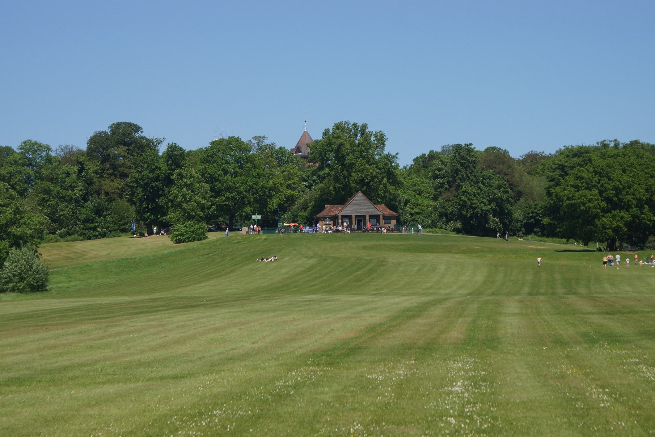
The event centre is towards the south side of the large open space below the cafe in the centre of the woodlands.
Contacts / Officials
Organiser: Antoine Pesenti
Planner: Kevin Jover
Controller (risk assessment only): David Dawson